
Pirongia Mountain Loop
- Website Website
- Feb 2, 2025
- 3 min read

Location: Mt Pirongia
Author: Henry Croft
Participants: Henry Croft, Miles Nicolson, Ben Ward
Date: 17th - 19th May, 2024
Friday 17th May
It was a bit of a slow start to the trip, with us waiting for one member to finish their assignment. Unfortunately, they had too much to do, so they pulled out of the trip. The good news was this meant we’d all fit in one car, saving us money on fuel. The remaining 4 of us (we started the day with 6 coming!) finally arrived at Kaniwhaniwha Reserve Carpark around 9:30 pm. Flicking our head torches on red, we walked 35 minutes to Kaniwhaniwha campsite, where we promptly set up tents and fell asleep.
Saturday 18th May
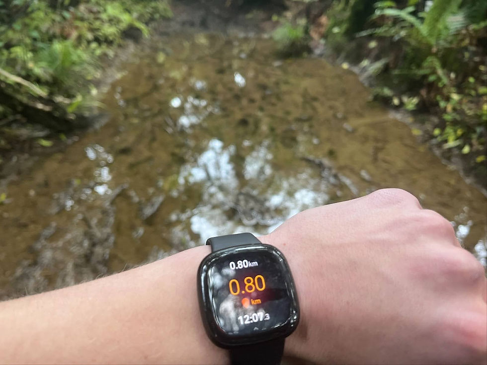
Because yesterday obviously went too smoothly, why not have another curveball today? After waking up at 7:00 am, unfortunately, a member felt too sick to continue. Miles (our amazing driver!) had to walk to his car and back, delaying our departure by about an hour. Once we got underway, it only took 800m until we hit the mud, or more like the mud hit us, and continued to for the next 3km.
Shortly after leaving the mud, we reached the tallest native tree in the country. It was amazing to think about what the bush used to look like with many more trees like this.

We then continued over the swing bridge and began our first steep section of the day. However, it quickly flattened out, and we soon arrived at Central Clearing Campsite. Since it was only 11:15 am, we decided it was too early for lunch and headed off towards the hut. It was pretty easygoing until about the 14 km mark, where it began to get muddy and then steep. One member chose the “Linear tramping” route through the mud while the other two went around. Initially, the linear approach was slightly faster. However as the track began even steeper and more muddy, bushbashing seemed the better option.

Eventually, after many slow climbs and descents, we made it to the cone at 945m. Here, there was actually a nice view back towards the campsite and onward to the hut. We followed the ridge down to the hut and passed through what can only be described as a swamp, more than knee-deep mud and up to 10m wide. We tried to use a fallen tree to cross it. This came with varying success. Once we got through, there was a boardwalk that just kept going and going for what felt like hundreds of meters. Unfortunately, once arriving at the hut, clouds had rolled in, and it was impossible to go further than 50m or so. We washed off, set up tents, made dinner and went to bed.
Sunday 19th May
We woke up still inside a cloud, and after eating breakfast, there were no signs of visibility improving. So we packed up and headed to the summit, and after climbing the observation tower, I’d love to say the view was amazing. unfortunately, all we got was a lot of wind and this…

Having seen so far the quality of the track was a lot better than the day before, we decided to send it down to the carpark. After about 10 minutes, we broke out into a slight clearing where we realised that the cloud had burnt off and there would’ve been pretty sweet views at the summit.

But hey, gotta have some reason to go back. The rest of the way down was a steady descent with some muddy patches, but nothing like the day before. We passed quite a few people on their way up of all ages. It was just after 11:00 am when we made it back to the campsite we stayed at the first night and we were back at the car at 11:30 am.


Comments